Natural disasters choose neither time nor place
The most frequently recorded natural disasters worldwide are: floods, storms, and earthquakes. From January to June, earthquakes, floods, and storms cost 62,000 lives globally. During these disasters, every minute counts – transmitting time-critical information such as current water levels safely can save lives.
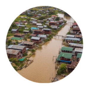
Floods
In the case of high water or flooding, precise water level measurements, especially at key locations such as flood retention basins, are important to gain an overview of the situation.
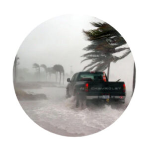
Blackout
In the case of a disaster, communication requires the highest possible availability. For this purpose, redundant, autonomous systems are necessary.
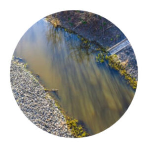
Firewater
Knowing the water level of firefighting ponds in hard-to-reach areas can save precious time in the event of a fire.
Secure communication with WAMO and base station
There are many ways to transmit information. No system alone is 100% fail-safe. Therefore, a redundant design of the communication infrastructure is the foundation for a robust water level warning.

Communication
_______________________
All unsere Systeme sind mit Batterie und eigener Photovoltaik ausgestattet. So können Terminals und Gateways von Star-Link, Iridium, SatelIOT oder SWARM (SatCom), sowie LoRA oder Sigfox (WAN) auch an schwer erreichbaren Orten mit Strom versorgt und zur Übertragung der aktuellen Pegel genutzt werden.
Measurement of the water level
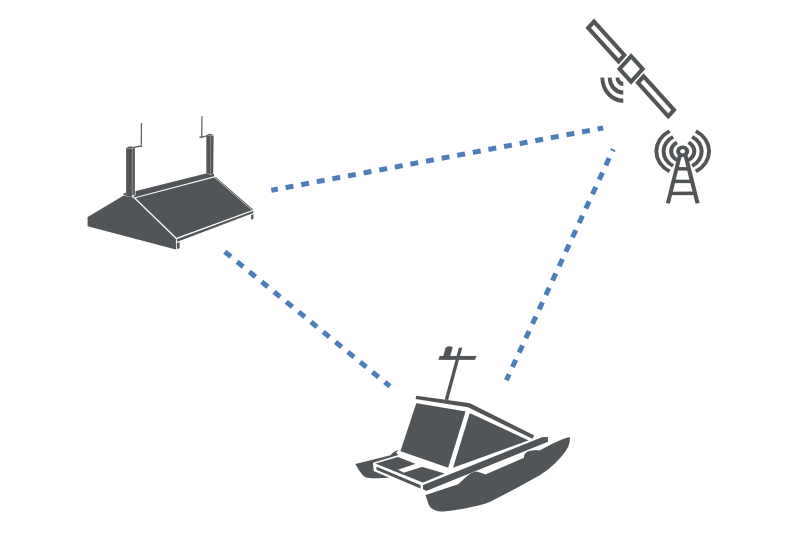
Through the location data of WAMO, the base station, and the satellite, changes in water level can be calculated with centimeter accuracy.
Water levels
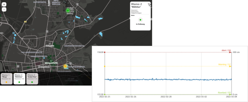
The water level is calculated with centimeter accuracy via satellite and sent to the nearest data analysis location via mobile network. Current water levels can be viewed at any time through the web interface.
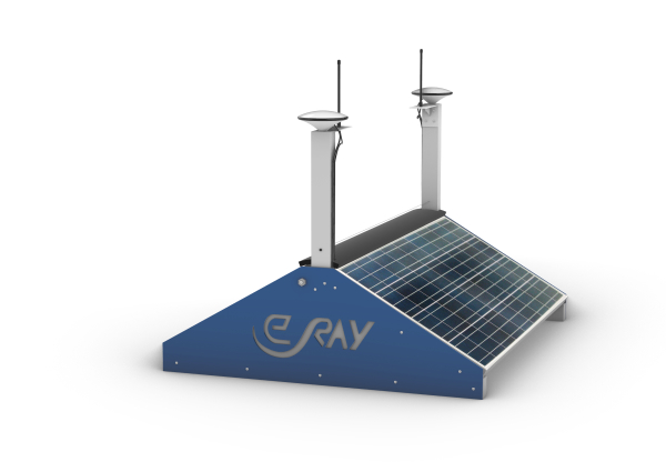
The Base Station
The primary purpose of the base station is to serve as a communication module for control centers and disaster management authorities. It makes it possible to communicate even in emergency situations – even if mobile networks or power grids have collapsed. The integrated photovoltaic system makes the base station completely independent of external infrastructure and enhances resilience in the event of a disaster. In normal operation, the base station also serves as a hub to, for example, aggregate and process data on the condition of surrounding water bodies.
Real-Time Monitoring
Water levels at key locations are measured and transmitted in real-time to respond quickly and make informed decisions regarding evacuations, rescue operations, or other measures.
Unlimited Measuring
The WAMO measuring boat floats on the surface, allowing it to have an unlimited measuring depth.
Self-Sufficiency
Thanks to the integrated PV (photovoltaic) modules and batteries, the WAMO does not depend on external power sources or communication networks.
Local Flexibility
Specially selected buoyancy elements enable the use of the WAMO in various flowing or still bodies of water and environments, such as firefighting ponds, retention basins, retention areas, and polders.
