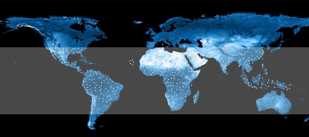
Together with the European Space Agency (ESA), we are investigating the feasibility of a network consisting of 2,200 infrastructure systems along the tropical rain belt. The project behind it is called River Nexus.
The rain belt is suffering; but what to do?
Rivers are the lifelines of the world. They cover our water needs, transport our goods and offer a diverse biosphere. In-depth, real-time knowledge of these water resources is important and can affect millions of lives.
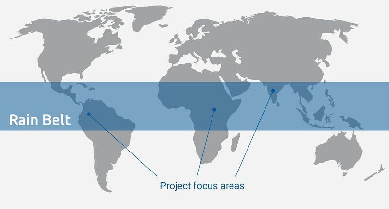
The River Nexus project focuses on the regions around the world’s tropical rain belt. The people living there are most affected by the effects of climate change. Heavy rainfall leads to devastating floods and catastrophes. Every year thousands of people lose their homes or even their lives. Flood warnings hardly reach rural communities. But they are particularly dependent on them.
Due to a lack of information infrastructure – an avoidable factor – people suffer from flood disasters. In an emergency, every minute can save lives and reduce damage. It is therefore of great importance to establish early flood detection in flood-prone areas. So far, Africa has only a weakly developed network of water monitoring stations. Often these stations do not provide real-time data. In addition, a lack of electricity affects the fast growing economies of the rain belt. The proper management of surface water requires continuous real-time measurements in rivers. To save lives and reduce damage in affected areas, it is important to save time.
That’s what we can do!
The River Nexus project can solve this problem. Thanks to the support of ESA Business Applications, we were able to integrate a hydrometric measurement system into our facilities. This measures basic parameters for the evaluation of water resources (water level, speed, temperature, precipitation and pH). The data is transmitted in real time to the affected people.
The goal of River Nexus is to build a network of energy-independent measuring stations on rivers and canals in the equatorial regions of Latin America, Africa and Asia – the rain belt of the earth.
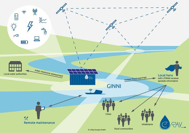
This network is based on the Green Independent Nexus Node Infrastructure (GINNI). On the one hand, this serves to generate energy from water currents and solar radiation. On the other hand, real-time information about the respective rivers is provided directly. The data is analyzed immediately – this shortens the path of information supply and saves time. In an emergency, local residents receive an immediate warning and can decide on further steps such as clarification or evacuation of affected communities. We call the people responsible “local heroes”.